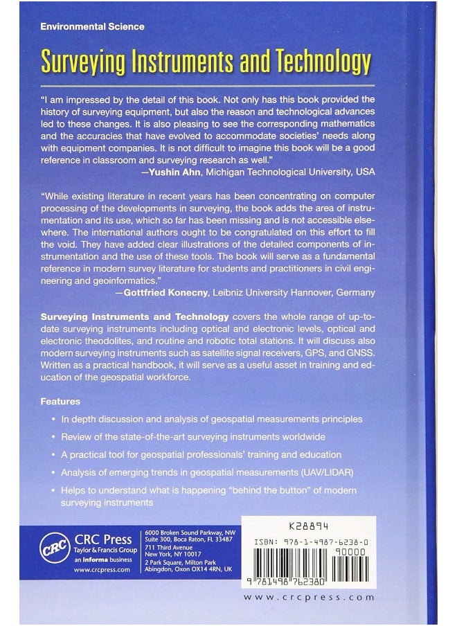
| Book Description | With the advent of GPS/GNSS satellite navigation systems and Unmanned Aerial Systems (UAS) surveying profession is nowadays facing its transformative stage. Written by a team of surveying experts, Surveyor’s Instruments and Technology gives surveying students and practitioners profound understanding of how surveying instruments are designed and operating based on surveying instrument functionality. The book includes the required basic knowledge of accurate measurements of distances and angles from theoretical principles to advanced optical, mechanical, electronic and software components for comparative analysis. Readers are presented with basic elements of UAS systems, practical interpretation techniques, sensor components, and operating platforms. Appropriate for surveying courses at all levels, this guide helps students and practitioners alike to understand what is behind the buttons of surveying instruments of all kinds when considering practical project implementations. |
| About the Author | Leonid Nadolinets lives in Moscow, Russia. Nadolinets has devoted his life to studying and developing surveying instruments. His PhD thesis covered topical surveying instrument developing. Nadolinets has worked as a research fellow at many research institutes in Russia and abroad. He has also attended training courses arranged by leading surveying manufacturers from the United States, Europe, Japan, and China. Currently, Nadolinets heads a consulting company that develops and maintains surveying instruments.Eugene Levin is the program chair of surveying engineering and associate professor at the School of Technology at Michigan Technological University. Levin also directs the Integrated Geospatial Technology graduate program. He received an MS degree in astrogeodesy from Siberian State Geodetic Academy in 1982 and a PhD in photogrammetry from Moscow State Land Organization University in 1989. He has more than 30 years of experience in academia and the geospatial industry in the United States, Israel, and Russia. He has held research and management positions with several academic institutions and high-tech companies, including the Research Institute of Applied Geodesy, Omsk Agricultural Academy, Rosnitc "Land," Ness Technologies, Physical Optics Corporation, Digital Map Products, American GNC, and Future Concepts. He has served as a principal investigator and project manager for multiple award-winning government programs. |
 Free & Easy Returns
 Best Deals


![/fashion-men/jack_jones/?sort[by]=popularity&sort[dir]=desc&limit=50](https://a.nooncdn.com/cms/pages/20240305/4ef48af441e2b44cea1673cd2e4aff67/en_dk-men-brands-04.png)


![/fashion-men/seventy_five/?sort[by]=popularity&sort[dir]=desc&limit=50](https://a.nooncdn.com/cms/pages/20240305/4ef48af441e2b44cea1673cd2e4aff67/en_dk-womens-new-brands-01.png)
![/fashion-men/skechers/?sort[by]=popularity&sort[dir]=desc&limit=50](https://a.nooncdn.com/cms/pages/20240305/4ef48af441e2b44cea1673cd2e4aff67/en_dk-womens-new-brands-02.png)


![/fashion-women/mango/?sort[by]=popularity&sort[dir]=desc&limit=50](https://a.nooncdn.com/cms/pages/20240305/4ef48af441e2b44cea1673cd2e4aff67/en_dk-women-brands-05.png)
![/fashion-women/guess/?sort[by]=popularity&sort[dir]=desc&limit=50](https://a.nooncdn.com/cms/pages/20240305/4ef48af441e2b44cea1673cd2e4aff67/en_dk-women-brands-09.png)


![/fashion-women/ella/?sort[by]=popularity&sort[dir]=desc&limit=50](https://a.nooncdn.com/cms/pages/20241812/en_dk-nav-brands-01.png)
![/fashion-women/skechers/?sort[by]=popularity&sort[dir]=desc&limit=50](https://a.nooncdn.com/cms/pages/20241812/en_dk-nav-brands-02.png)


![/fashion/view-all-kids-clothing/nike/?sort[by]=popularity&sort[dir]=desc&limit=50](https://a.nooncdn.com/cms/pages/20240911/nav-web/en_mb_uae_brand-01.png)
![/fashion/view-all-kids-clothing/disney/disney_minnie_mouse/disney_frozen/disney_princess/disney_mickey_mouse/disney_baby/?sort[by]=popularity&sort[dir]=desc&limit=50](https://a.nooncdn.com/cms/pages/20240911/nav-web/en_mb_uae_brand-03.png)


![/fashion/view-all-kids-clothing/new_balance/?sort[by]=popularity&sort[dir]=desc&limit=50](https://a.nooncdn.com/cms/pages/20240911/nav-web/en_mb_uae_brand-11.png)


![/baby-products/momcozy/?f[partner][]=p_9404&sort[by]=popularity&sort[dir]=desc&limit=50&page=1&isCarouselView=false&av=0](https://a.nooncdn.com/cms/pages/20241031/navrev-baby/en_uae_dk-nav-04.png)


![/music-movies-and-tv-shows/musical-instruments-24670/pianos-keyboards-synthesizers/roland/?sort[by]=popularity&sort[dir]=desc&limit=50&page=1&isCarouselView=false](https://f.nooncdn.com/cms/pages/20250407/books-nav/en_uae_dk-nav-brands-05.png)
![/music-movies-and-tv-shows/musical-instruments-24670/pianos-keyboards-synthesizers/mike_music/?sort[by]=popularity&sort[dir]=desc&limit=50&page=1&isCarouselView=false](https://f.nooncdn.com/cms/pages/20250407/books-nav/en_ksa_dk-nav-brands-04.png)