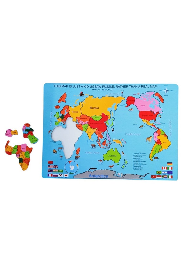
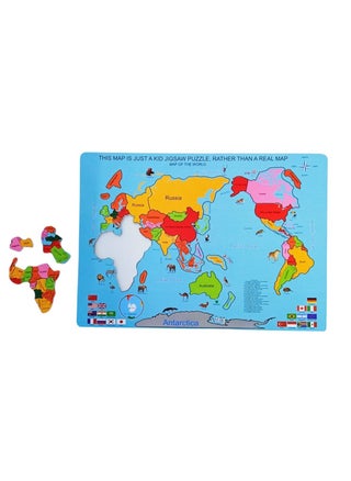
It contains a face that includes the entire continents of the world, and the continents and islands are separate and magnetic so that your child can taste them in the right place. The map comes in a rectangle measuring 35 by 25 colors. The map teaches your child the shape of the flag and the continents and their places on the map. It also develops the ability to concentrate and memorize and adds valuable information to your child about the geographically different places of the world. It also teaches him the locations of the oceans, seas and rivers, latitudes and longitudes, and where they are located. Its place on the map as it knows the directions. Explanation of the magnetic world map. The child dismantles the countries and installs them on the It has different types of animals found on each continent. Supported by the flags of the countries and their names. Supported by the directions through which the child can learn the locations of the countries and their names. Learn the names of the continents and flags of the different countries. Dimensions of the map 3525
 Free & Easy Returns
 Best Deals