استرجاع مجاني وسهل
 أفضل العروض

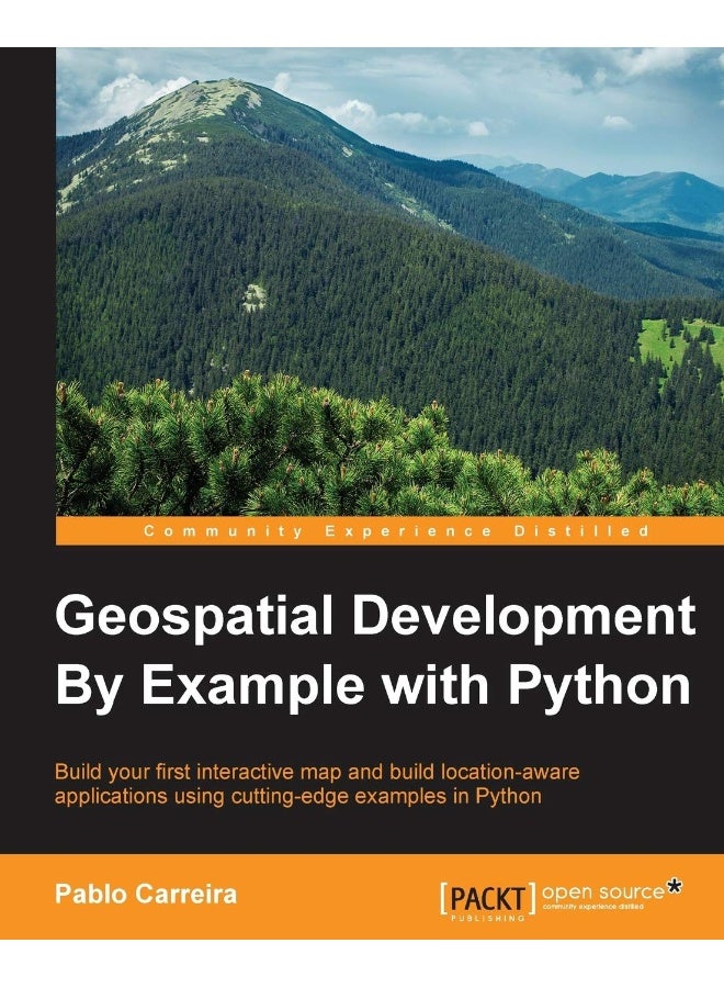


| الناشر | Packt Publishing |
| رقم الكتاب المعياري الدولي 10 | 1785282352 |
| الكاتب | Pablo Carreira |
| تاريخ النشر | 29 January 2016 |
| رقم الكتاب المعياري الدولي 13 | 9781785282355 |
| وصف الكتاب | Key Features Learn the full geo-processing workflow using Python with open source packages Create press-quality styled maps and data visualization with high-level and reusable code Process massive datasets efficiently using parallel processing Book Description From Python programming good practices to the advanced use of ysis packages, this book teaches you how to write applications that will perform complex geoprocessing tasks that can be replicated and reused. Much more than simple scripts, you will write functions to import data, create Python cl that represent your features, and learn how to combine and filter them. With pluggable mechanisms, you will learn how to visualize data and the results of ysis in beautiful maps that can be batch-generated and embedded into doents or web pages. Finally, you will learn how to consume and process an enormous amount of data very efficiently by using advanced tools and modern computers' parallel processing capabilities. What you will learn Prepare a development environment with all the tools needed for geo-processing with Python Import point data and structure an application using Python's resources Combine point data from multiple sources, creating intuitive and functional representations of geographic objects Filter data by coordinates or attributes easily using pure Python Make press-quality and replicable maps from any data Download, transform, and use remote sensing data in your maps Make calculations to extract information from raster data and show the results on beautiful maps Handle massive amounts of data with advanced processing techniques Process huge satellite images in an efficient way Optimize geo-processing times with parallel processing About the Author Pablo Carreira is a Python programmer and a full stack developer living in Sao Paulo state, Brazil. |
| اللغة | English |
| عدد الصفحات | 340 pages |


![/electronics-and-mobiles/mobiles-and-accessories/mobiles-20905/smartphones/honor/?sort[by]=best_rating&sort[dir]=desc&limit=50&page=1&isCarouselView=false](https://a.nooncdn.com/cms/pages/20250811/honor/en_uae_dk-nav-01.png)


![/fashion-men/jack_jones/?sort[by]=popularity&sort[dir]=desc&limit=50](https://a.nooncdn.com/cms/pages/20240305/4ef48af441e2b44cea1673cd2e4aff67/en_dk-men-brands-04.png)


![/fashion-men/seventy_five/?sort[by]=popularity&sort[dir]=desc&limit=50](https://a.nooncdn.com/cms/pages/20240305/4ef48af441e2b44cea1673cd2e4aff67/en_dk-womens-new-brands-01.png)
![/fashion-men/skechers/?sort[by]=popularity&sort[dir]=desc&limit=50](https://a.nooncdn.com/cms/pages/20240305/4ef48af441e2b44cea1673cd2e4aff67/en_dk-womens-new-brands-02.png)


![/fashion-women/mango/?sort[by]=popularity&sort[dir]=desc&limit=50](https://a.nooncdn.com/cms/pages/20240305/4ef48af441e2b44cea1673cd2e4aff67/en_dk-women-brands-05.png)
![/fashion-women/guess/?sort[by]=popularity&sort[dir]=desc&limit=50](https://a.nooncdn.com/cms/pages/20240305/4ef48af441e2b44cea1673cd2e4aff67/en_dk-women-brands-09.png)


![/fashion-women/ella/?sort[by]=popularity&sort[dir]=desc&limit=50](https://a.nooncdn.com/cms/pages/20241812/en_dk-nav-brands-01.png)
![/fashion-women/skechers/?sort[by]=popularity&sort[dir]=desc&limit=50](https://a.nooncdn.com/cms/pages/20241812/en_dk-nav-brands-02.png)


![/fashion/view-all-kids-clothing/nike/?sort[by]=popularity&sort[dir]=desc&limit=50](https://a.nooncdn.com/cms/pages/20240911/nav-web/en_mb_uae_brand-01.png)
![/fashion/view-all-kids-clothing/disney/disney_minnie_mouse/disney_frozen/disney_princess/disney_mickey_mouse/disney_baby/?sort[by]=popularity&sort[dir]=desc&limit=50](https://a.nooncdn.com/cms/pages/20240911/nav-web/en_mb_uae_brand-03.png)


![/fashion/view-all-kids-clothing/new_balance/?sort[by]=popularity&sort[dir]=desc&limit=50](https://a.nooncdn.com/cms/pages/20240911/nav-web/en_mb_uae_brand-11.png)


![/music-movies-and-tv-shows/musical-instruments-24670/pianos-keyboards-synthesizers/chloris/?sort[by]=popularity&sort[dir]=desc&limit=50&page=1&isCarouselView=false](https://f.nooncdn.com/cms/pages/20250407/books-nav/en_uae_dk-nav-brands-04.png)
![/music-movies-and-tv-shows/musical-instruments-24670/pianos-keyboards-synthesizers/roland/?sort[by]=popularity&sort[dir]=desc&limit=50&page=1&isCarouselView=false](https://f.nooncdn.com/cms/pages/20250407/books-nav/en_uae_dk-nav-brands-05.png)
![/music-movies-and-tv-shows/musical-instruments-24670/pianos-keyboards-synthesizers/donner/?sort[by]=popularity&sort[dir]=desc&limit=50&page=1&isCarouselView=false](https://f.nooncdn.com/cms/pages/20250407/books-nav/en_uae_dk-nav-brands-06.png)
![/music-movies-and-tv-shows/musical-instruments-24670/pianos-keyboards-synthesizers/korg/?sort[by]=popularity&sort[dir]=desc&limit=50&page=1&isCarouselView=false](https://f.nooncdn.com/cms/pages/20250407/books-nav/en_uae_dk-nav-brands-07.png)