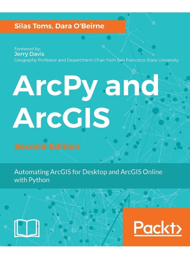
| وصف الكتاب | Use Python modules such as ArcPy, ArcREST and the ArcGIS API for Python to automate the analysis and mapping of geospatial data.Key FeaturesPerform GIS analysis faster by automating tasks.Access the spatial data contained within shapefiles and geodatabases and transform between spatial reference systems.Automate the mapping of geospatial analyses and production of map books.Book DescriptionArcGIS allows for complex analyses of geographic information. The ArcPy module is used to script these ArcGIS analyses, providing a productive way to perform geo-analyses and automate map production.The second edition of the book focuses on new Python tools, such as the ArcGIS API for Python. Using Python, this book will guide you from basic Python scripting to advanced ArcPy script tools.This book starts off with setting up your Python environment for ArcGIS automation. Then you will learn how to output maps using ArcPy in MXD and update feature class in a geodatabase using arcpy and ArcGIS Online. Next, you will be introduced to ArcREST library followed by examples on querying, updating and manipulating ArcGIS Online feature services. Further, you will be enabling your scripts in the browser and directly interacting with ArcGIS Online using Jupyter notebook. Finally, you can learn ways to use of ArcPy to control ArcGIS Enterprise and explore topics on deployments, data quality assurances, data updates, version control, and editing safeguards.By the end of the book, you will be equipped with the knowledge required to create automated analysis with administration reducing the time-consuming nature of GIS.What you will learnUnderstand how to integrate Python into ArcGIS and make GIS analysis faster and easier.Create Python script using ArcGIS ModelBuilder.Learn to use ArcGIS online feature services and the basics of the ArcGIS REST APIUnderstand the unique Python environment that is new with ArcGIS ProLearn about the new ArcGIS Python API and how to use Anaconda and Jupyter with itLearn to control ArcGIS Enterprise using ArcPy |
 استرجاع مجاني وسهل
 أفضل العروض


![/electronics-and-mobiles/mobiles-and-accessories/mobiles-20905/smartphones/honor/?sort[by]=best_rating&sort[dir]=desc&limit=50&page=1&isCarouselView=false](https://a.nooncdn.com/cms/pages/20250811/honor/en_uae_dk-nav-01.png)


![/fashion-men/jack_jones/?sort[by]=popularity&sort[dir]=desc&limit=50](https://a.nooncdn.com/cms/pages/20240305/4ef48af441e2b44cea1673cd2e4aff67/en_dk-men-brands-04.png)


![/fashion-men/seventy_five/?sort[by]=popularity&sort[dir]=desc&limit=50](https://a.nooncdn.com/cms/pages/20240305/4ef48af441e2b44cea1673cd2e4aff67/en_dk-womens-new-brands-01.png)
![/fashion-men/skechers/?sort[by]=popularity&sort[dir]=desc&limit=50](https://a.nooncdn.com/cms/pages/20240305/4ef48af441e2b44cea1673cd2e4aff67/en_dk-womens-new-brands-02.png)


![/fashion-women/mango/?sort[by]=popularity&sort[dir]=desc&limit=50](https://a.nooncdn.com/cms/pages/20240305/4ef48af441e2b44cea1673cd2e4aff67/en_dk-women-brands-05.png)
![/fashion-women/guess/?sort[by]=popularity&sort[dir]=desc&limit=50](https://a.nooncdn.com/cms/pages/20240305/4ef48af441e2b44cea1673cd2e4aff67/en_dk-women-brands-09.png)


![/fashion-women/ella/?sort[by]=popularity&sort[dir]=desc&limit=50](https://a.nooncdn.com/cms/pages/20241812/en_dk-nav-brands-01.png)
![/fashion-women/skechers/?sort[by]=popularity&sort[dir]=desc&limit=50](https://a.nooncdn.com/cms/pages/20241812/en_dk-nav-brands-02.png)


![/fashion/view-all-kids-clothing/nike/?sort[by]=popularity&sort[dir]=desc&limit=50](https://a.nooncdn.com/cms/pages/20240911/nav-web/en_mb_uae_brand-01.png)
![/fashion/view-all-kids-clothing/disney/disney_minnie_mouse/disney_frozen/disney_princess/disney_mickey_mouse/disney_baby/?sort[by]=popularity&sort[dir]=desc&limit=50](https://a.nooncdn.com/cms/pages/20240911/nav-web/en_mb_uae_brand-03.png)


![/fashion/view-all-kids-clothing/new_balance/?sort[by]=popularity&sort[dir]=desc&limit=50](https://a.nooncdn.com/cms/pages/20240911/nav-web/en_mb_uae_brand-11.png)


![/music-movies-and-tv-shows/musical-instruments-24670/pianos-keyboards-synthesizers/chloris/?sort[by]=popularity&sort[dir]=desc&limit=50&page=1&isCarouselView=false](https://f.nooncdn.com/cms/pages/20250407/books-nav/en_uae_dk-nav-brands-04.png)
![/music-movies-and-tv-shows/musical-instruments-24670/pianos-keyboards-synthesizers/roland/?sort[by]=popularity&sort[dir]=desc&limit=50&page=1&isCarouselView=false](https://f.nooncdn.com/cms/pages/20250407/books-nav/en_uae_dk-nav-brands-05.png)
![/music-movies-and-tv-shows/musical-instruments-24670/pianos-keyboards-synthesizers/donner/?sort[by]=popularity&sort[dir]=desc&limit=50&page=1&isCarouselView=false](https://f.nooncdn.com/cms/pages/20250407/books-nav/en_uae_dk-nav-brands-06.png)
![/music-movies-and-tv-shows/musical-instruments-24670/pianos-keyboards-synthesizers/korg/?sort[by]=popularity&sort[dir]=desc&limit=50&page=1&isCarouselView=false](https://f.nooncdn.com/cms/pages/20250407/books-nav/en_uae_dk-nav-brands-07.png)